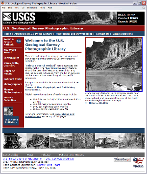
The U.S. Geological Survey (USGS) Central Regional Library in Denver, Colorado maintains a collection of over 400,000 photographs taken during geologic studies of the United States and its territories from 1868 to the present.

Currently, USGS student employees are scanning pre-1955 images from that collection for the Web-accessible Earth Sciences Photographic Archive. The Historic Photo Web Site now has nearly 34,000 photographs ranging in age from 1868 through 1992. These public domain, copyright-free photos can be viewed and downloaded free-of-charge. The photos are available in 100, 700, and 1400 dot per inch resolutions.
These images provide a visual history of the discovery, development, and sciences of the United States. Some photographs have been used in USGS publications, but most have never been published.
