A team composed of UW-Madison researchers and local partners is in the process of establishing a chloride monitoring program in Starkweather Creek on Madison’s east side. The goals of the project include continuous chloride monitoring at numerous locations along the creek, engaging with stakeholders and community members to educate them about the creek and sources of chloride contamination, and beginning to establish a model for cooperation and engagement to ensure the long-term health of the creek.
Another goal of the project is to expand on existing partnerships with Operation Fresh Start (OFS), a regional leader in providing alternative pathways for young individuals who may have dropped out of high school or come from disadvantaged communities. Through OFS, these individuals complete high school and achieve real-world training opportunities to become prepared to enter the workforce.
OFS’s Conservation Academy Program aims to provide young adults an opportunity to gain experience in an environmental career, mainly through restoration efforts such as tree planting, invasive plant removal, pesticide application and prescribed burning. Through the Starkweather Creek project, OFS Conservation crews will receive additional training in water quality monitoring and the basic principles of modern GIS-based mapping for environmental applications. This training will help OFS crews — and other community members and partners — gain an understanding of the important role of monitoring and mapping tools to assess, visualize and share environmental infomation.
In addition to OFS, project partners include the Capital Area Regional Planning Commission (CARPC) and Friends of Starkweather Creek. Staff from the US Geological Survey and City of Madison are advisors on the project. The UW-Madison partner is the State Cartographer’s Office (SCO) in the Department of Geography. The SCO will be leading the GIS training for OFS crews.
The Starkweather Creek watershed drains urban land on the east side of Madison and discharges into Lake Monona near Olbrich Gardens. Branches of the creek originate near East Towne Mall and Dane County Regional Airport. The creek has a long history of pollution from industrial sources and is now considered one of the most polluted streams in Wisconsin. In 2016, portions of the creek were listed by the Wisconsin Department of Natural Resources as as impaired due to chloride chronic aquatic toxicity.
CARPC led the development of a Chloride Management Plan for the creek in 2000, and over 200 chloride tests have been conducted annually for the last 4 years at 9 sites across the watershed. This new project will greatly increase monitoring through a continuous monitoring system at 7 unique sites along the creek.
The project has been in the planning stages for several months. Physical work has now commenced with the installation of an initial set of chloride monitors. The photos below show individuals from OFS, CARPC, SCO and Friends of Starkweather Creek participating in the installation earlier this week.
The project is supported by a Community-based water research grant provided by Water@UW-Madison and the University of Wisconsin-Madison’s Office of the Provost.
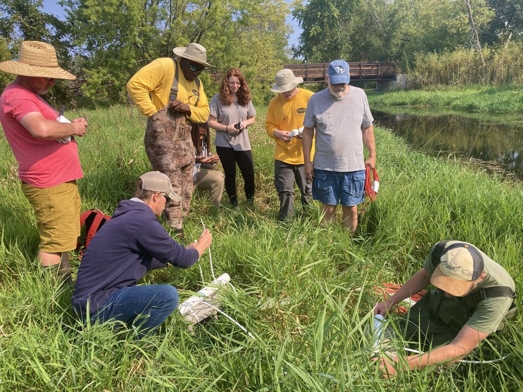
Cinching the chloride probes to cinder blocks with zip ties.
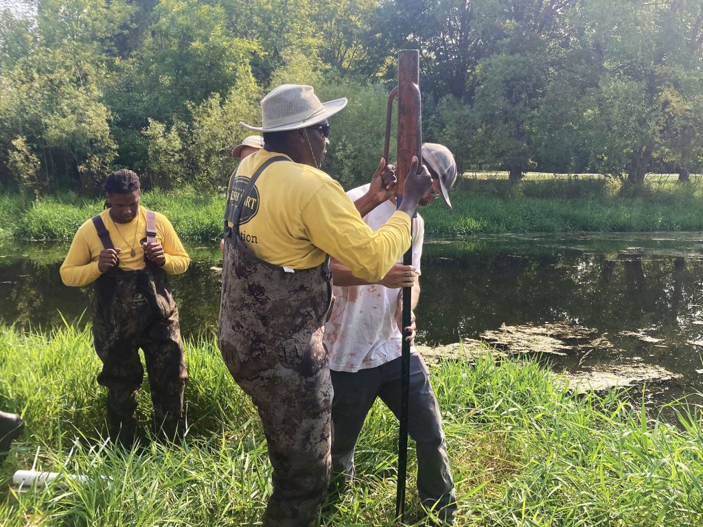
Pounding in a t-post.
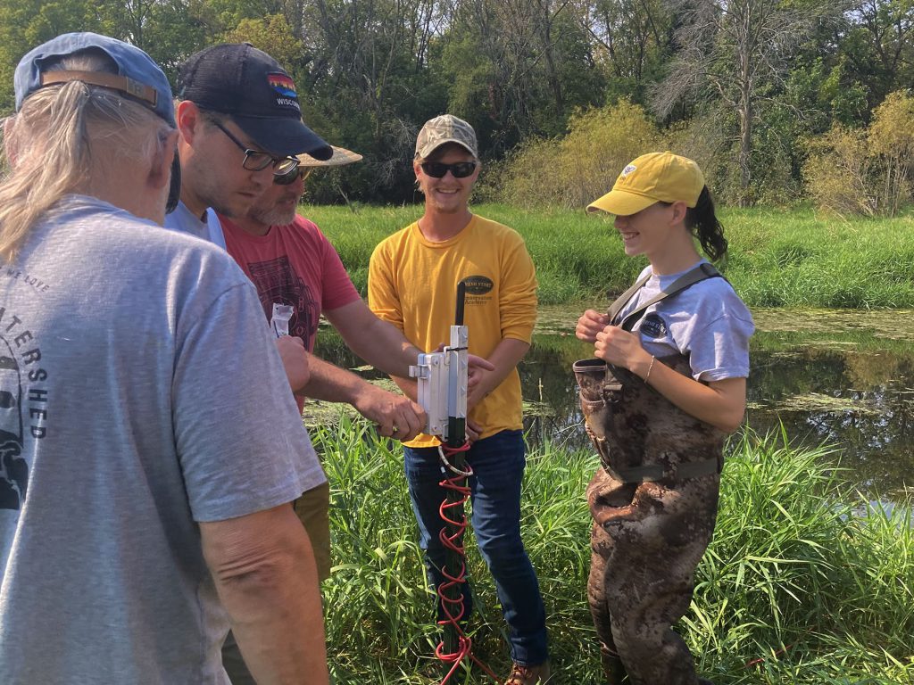
Setting up a monitor on a t-post and attaching the cables to the probes.
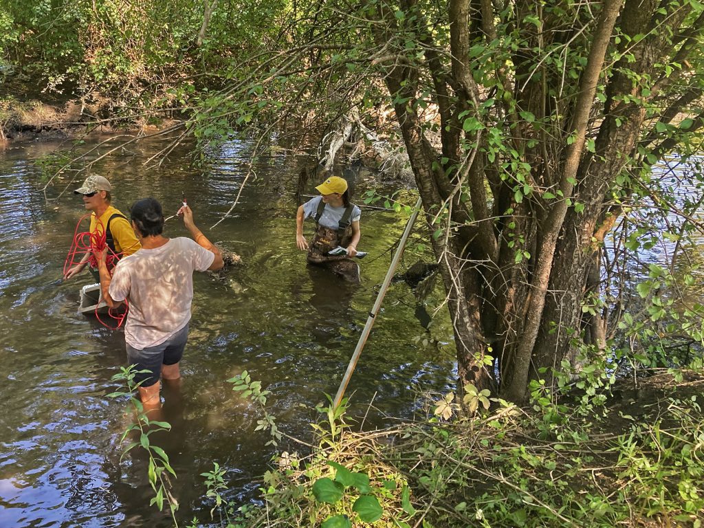
Probes (and the cinder blocks they are attached to) must be submerged under water in the creek.
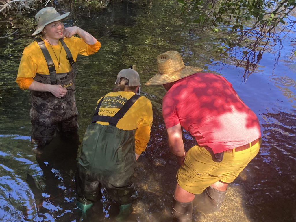
A final check that everything looks good.


