
 Last September we reported on new tools available for downloading historic Wisconsin aerial imagery. We are happy to announce the completion of a completely overhauled Wisconsin Historic Aerial Imagery Finder, a.k.a. “WHAIFinder.” All of this work is the result of a longstanding partnership with a sister organization here at UW-Madison, the Arthur H. Robinson Map Library (RML).
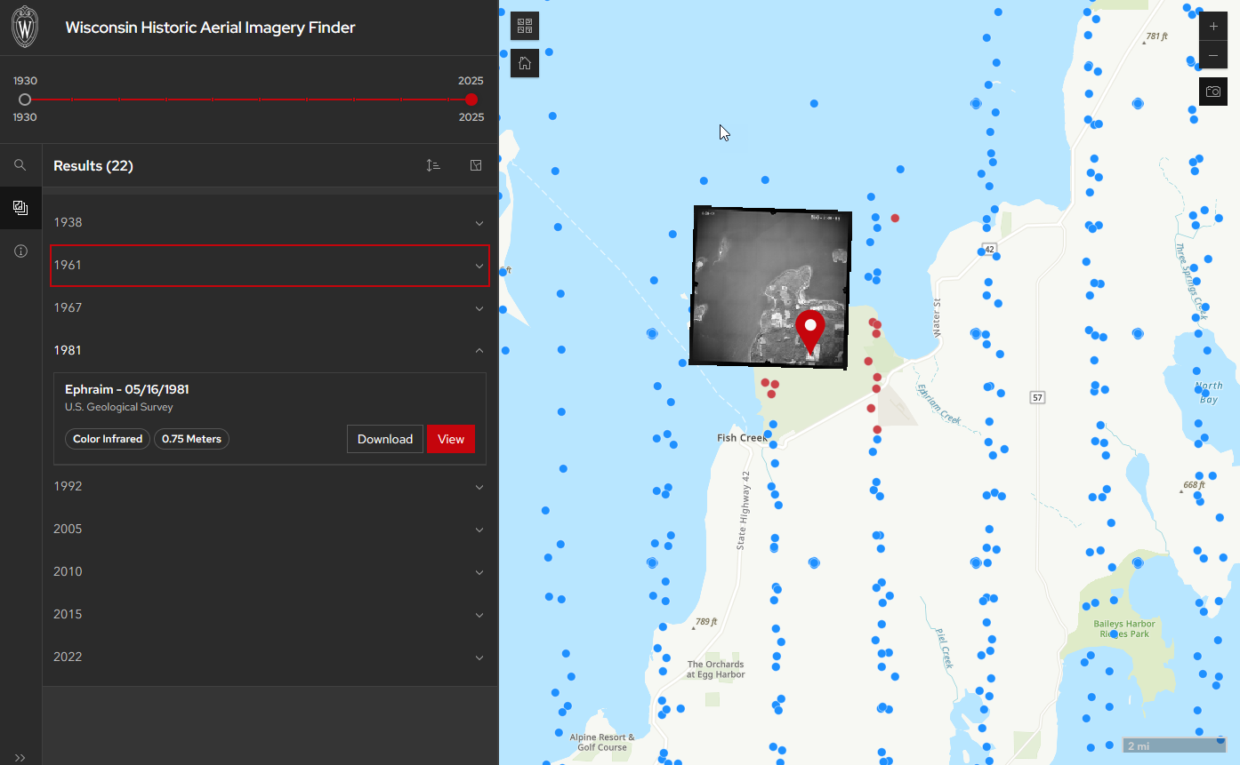
First released in 2011, WHAIFinder has been the go-to source for downloading free Wisconsin aerial photography from the 1930s and early 1940s. The latest version of WHAIFinder has a new interface, but perhaps more importantly provides greatly-expanded access to imagery. As I write this, there are ~130,000 individual photographs available for download as JPEG images in WHAIFinder. WHAIFinder is primarily aimed at general public users who simply want a picture for their area(s) of interest.
New Tools for GIS Users
As mentioned in the previous article, GIS users may be interested in some other services we’ve developed to support access to historic aerial imagery. In particular is the new feature service GIS professionals can find in ArcGIS Online. We have a data dictionary available to help you understand the attributes found in the service. In addition, I recently put together a tutorial that describes how to use a Python script to download aerial imagery for specific project areas.
As always we welcome feedback on all of these tools! Send us a note at help@sco.wisc.edu.