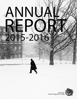
We have published our Fiscal Year 2016 (July 2015 to June 2016) annual report. Some highligths of the year include:
- We completed the two-year Wiscland 2 project, developing a new statewide 30-meter land cover database for the Wisconsin Department of Natural Resources. This project was conducted in collaboration with the Department of Forest and Wildlife Ecology at UW-Madison.
- We continued our work on the Statewide Parcel Project, which created Wisconsin’s first public statewide digital parcel database. This project is a collaboration with the Wisconsin Department of Administration and the state’s 72 county land information offices.
- With the Department of Administration we received a Special Achievement in GIS Award from Esri for the Statewide Parcel Project.
- We launched several new projects to facilitate digital access to historical GIS data. These projects are collaborations with the Department of Forest and Wildlife Ecology at UW-Madison.
- Our student assistants worked on a number of externally-funded projects, and received several poster awards from the Wisconsin Land Information Association for their work.
- We expanded access to the geospatial data holdings in GeoData@UW-Madison, a collaborative effort with the Robinson Map Library.
- We organized and hosted the seventh UW-Madison Geospatial Summit and the second Parcel-Surveying Forum (in collaboration with UW-Eau Claire) which together attracted audiences totaling about 250 people.
- We continued our collaborations within the Geography Department, other departments and institutions within the University of Wisconsin, and the professional geospatial and surveying communities around the state and nationally.
We welcome any feedback you may have on the report. Please e-mail me or give me a call at (608) 262-6852 if you have comments.
Note: No, that’s not a mistake — the report is grayscale this year rather than in full color. This is a cost-saving move for printing purposes.

