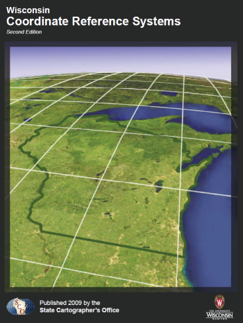
This handbook is a technical guide and resource for those who work with geospatial information in Wisconsin. It provides a brief overview of the history, evolution, and basics of Wisconsin’s coordinate reference systems, and compiles in one place the technical specifications for systems most commonly used in the state. (Updated June 2015)
Download Publication (5 MB)

