Quick Links
The U.S. Geological Survey (USGS) produces 7.5-minute topographic quadrangle maps for the entire nation. There are 1,154 “quads” covering the entire state of Wisconsin. For example, it takes 20 quads to cover all of Richland County. Each map sheet measures about 22″ x 27″ although without the border, the ground area on each sheet occupies about 17″ x 23″.
Topographic maps use elevation contour lines to show the shape of the Earth’s surface. Elevation contours are imaginary lines connecting points having the same elevation on the surface of the land above or below a reference surface, which is usually mean sea level. Contours make it possible to show the height and shape of mountains, the depths of the ocean bottom, and the steepness of slopes. USGS topographic maps also show many other kinds of geographic features including roads, railroads, rivers, streams, lakes, boundaries, place or feature names, mountains, and more. (source: USGS)

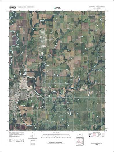
Beginning in 2009, the USGS began to make available the next generation of digital topographic maps under its US Topo program.
Anyone looking for printed topographic maps should start with the USGS Map Locator. Using a map interface, the Map Locator site allows you to interactively zoom to an area of interest and then order a printed product. Or you can simply type in the name of a place, and see what maps are available at that location. At the time of this writing, printed topo maps cost $15 each.
GIS professionals or people with more tech experience may find it more expedient to download digital GeoPDF topographic maps through the National Map Viewer.
Also try exploring the Historical Topographic Map Explorer, a USGS web application that offers functionality to query a location for historic and contemporary topo maps, view available maps on a timeline, as well as overlay and download topo layers.
Need Assistance?
If you are having trouble locating topographic maps in Wisconsin or need further help, please contact us via e-Mail or at (608) 262-3065.

