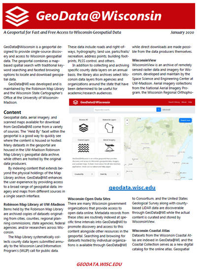
GeoData@Wisconsin an online geoportal for fast and free access to Wisconsin geospatial data. The geoportal combines a map-based spatial search with traditional keyword searching and faceted browsing options to locate and download geospatial data. GeoData@WI was developed and is maintained by the Robinson Map Library and the Wisconsin State Cartographer’s Office at the University of Wisconsin-Madison.
Download Publication (985 KB)

