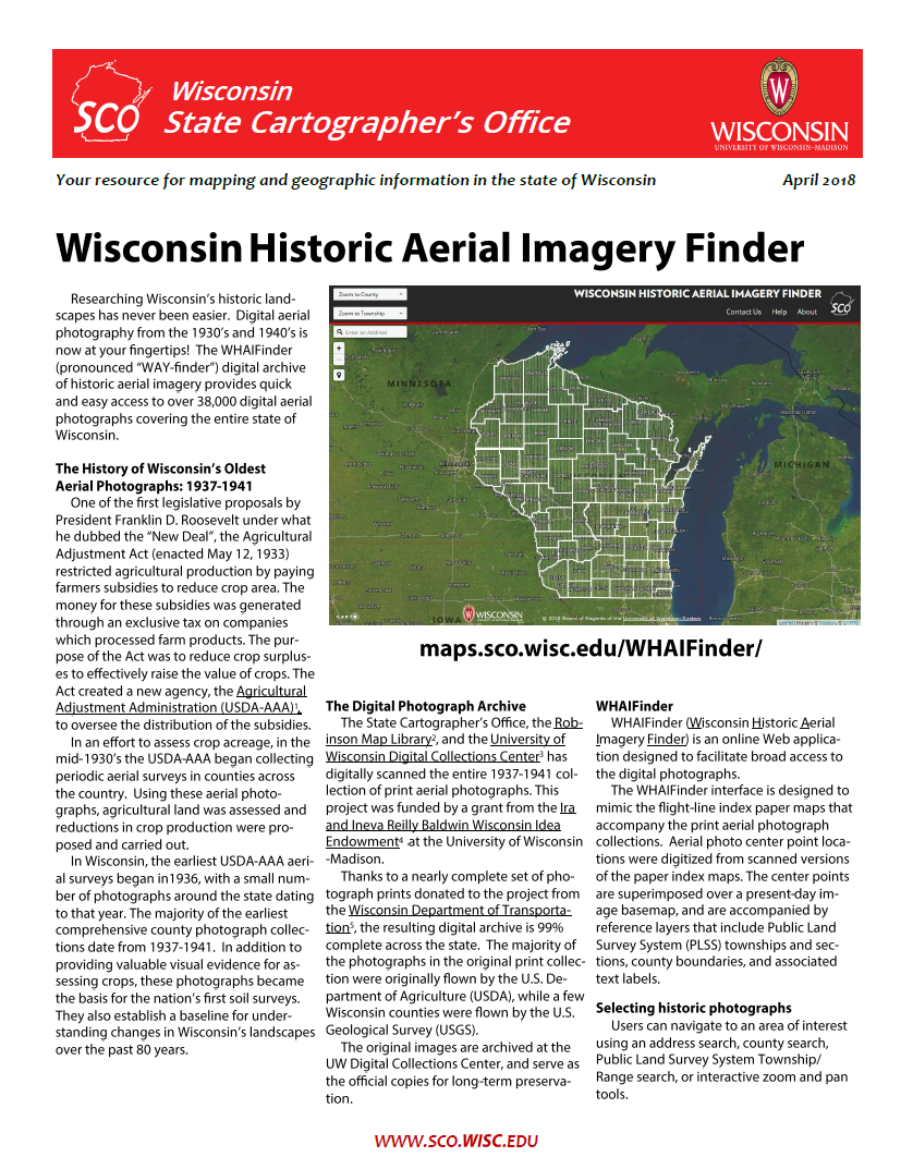
The WHAIFinder (pronounced “WAY-finder”) digital archive of historic aerial imagery provides quick and easy access to over 38,000 digital aerial photographs covering the entire state of Wisconsin. Photographs are available online for free, and are in the public domain for use without restrictions.
Download Publication (1 MB)

